At the north end, where Tampa Bay opens and the sand thins toward Bean Point, the island feels less built than negotiated. A pier reaches into the water. A roofless jail still stands inland. Street grids stop short of the shore. Even the height of buildings is argued over and regulated. That mix explains what Anna Maria Island is known for better than any beach brochure does: not simply sand and sea, but a rare stretch of Florida coast where the past still shapes the skyline.
Anna Maria Island is small, about seven miles long and only a few blocks wide in places. It lies on the Gulf Coast in Manatee County, between the Gulf of Mexico and Anna Maria Sound, with Tampa Bay at its northern end and Longboat Pass to the south. The island is divided into three municipalities, Anna Maria, Holmes Beach, and Bradenton Beach. Yet the scale that matters here is older than any city limit. To understand the island’s reputation for an “Old Florida” feel, you have to follow the long history of how this barrier island formed, who used it, who claimed it, and why later residents chose, with unusual stubbornness, not to let it become a wall of towers.
Before the streets, a working coast
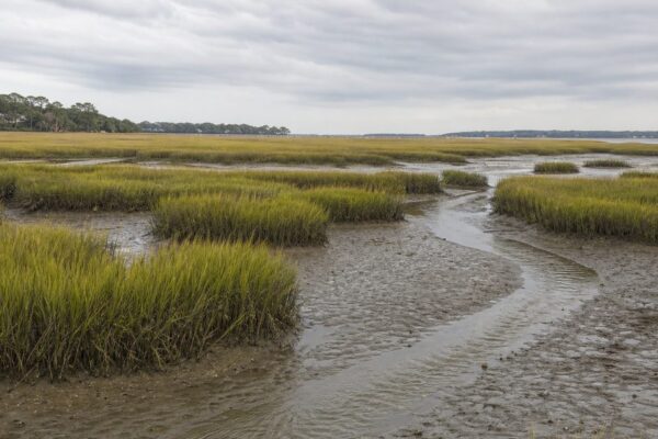
Long before it had roads or a name on a plat map, Anna Maria Island was a barrier island shaped by shifting sand, tides, and storms. It formed roughly 25,000 years ago as part of the coastal system along the Gulf. That origin matters because barrier islands are never fixed pieces of land. They are edges: narrow, changeable strips between open water and sheltered sound.
People entered that landscape much later. Humans have lived in Florida for about 12,000 years. In the waters around present-day Anna Maria Island, the predecessors of the Calusa were established by around 4,000 years ago. By about 1000 CE, Native peoples including the Calusa and Timucua used the island and nearby waters for fishing, travel, and exchange.
That is a more useful starting point than the usual pioneer tale. The island was not an empty beach waiting for settlement. It belonged to a coastal world in which movement by canoe and boat mattered as much as movement on land. Its position near the mouth of Tampa Bay made it valuable because of access: to fish, to shellfish, to protected water routes, and to wider regional networks.
The disappearance of the Timucua from the historical record was not some natural fading. Disease and colonial disruption devastated Indigenous communities across Florida. Any account of the island’s past that begins with homesteaders skips the older and harder truth that this coast had long been inhabited and used before Europeans arrived.
Spanish claims and the violence behind them
The first Europeans entered this story in the early 16th century. Juan Ponce de León reached Florida’s west coast in 1521, though his attempt to establish a colony failed after Native resistance. Spanish expeditions moved through the region in the following decades, and the coast that included Anna Maria Island fell within Spain’s imperial claims.
In 1539, Hernando de Soto landed at Shaw’s Point on the mainland near present-day Bradenton. His expedition is often reduced to a line in local history, but it deserves plainer language. De Soto’s men seized food, took Indigenous people captive, and used violence in their search for wealth and control. The waters around the island were not a scenic backdrop to exploration. They were part of a colonial frontier marked by coercion.
Even the island’s name is unsettled. One explanation traces it to Spanish naming, Ana Maria Cay, linked in some retellings to Saint Anne and the Virgin Mary. Another attributes the name to Madison Post in the 19th century, supposedly combining the names of his wife Maria and her sister Anna. Neither version can be treated as certain on the evidence here. The uncertainty is part of the history. Coastal names often survive as a mix of record, repetition, and local preference.
Settlement came late, and by water first
For centuries, the island remained more useful than settled. Among the later visitors were Cuban fishermen who worked the waters near the southern mouth of Tampa Bay. Their presence fits the older pattern. People came here because of the water and usually by water.
Permanent American settlement arrived late. In 1892, George Emerson Bean became the first permanent resident when he homesteaded land at the island’s north end. That area is now Bean Point, one of the clearest cases on the island where a present-day landmark still carries the name of an early settler.
The Cobbs followed soon after. In 1896, Sam and Annie Cobb homesteaded 160 acres stretching from Gulf to bay in what is now Holmes Beach. The next year, their daughter Anna Maria Cobb became the first non-Native child born on the island.
Those details reveal the scale of early settlement. This was not a rush of dense development. Families claimed long, narrow tracts on a barrier island where one holding could run from one shoreline to the other. The island’s later division into three small cities rather than one continuous urban strip still reflects that piecemeal beginning.
In 1902, Samuel Cobb established the first post office. In 1907, he opened the Club House, regarded as the island’s first hotel. A post office and a hotel may sound modest, but together they mark a turning point. The island was no longer just habitable. It had become legible to outsiders, a place with an address and a bed.
The pier made a community visible
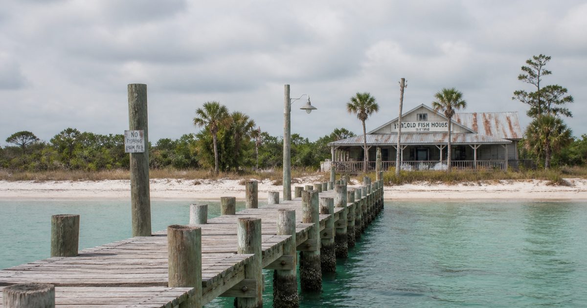
If one structure explains Anna Maria Island history in physical form, it is the Anna Maria City Pier. Built in 1911-1912 by the Anna Maria Development Company, with a wharf beside it, the pier extended 678 feet into the water. Steamers from Tampa and St. Petersburg could dock there.
That mattered because the island still faced the water more naturally than the mainland. Before bridges, arrival by boat was not quaint; it was practical. The pier gave the settlement a fixed point of contact with the wider region. Goods, people, and mail could move through it. So could ambition. A barrier island that had been marginal became easier to reach, easier to market, and easier to imagine as a community rather than an outpost.
The pier still helps explain what Anna Maria Island is known for today. Not because it is old in a decorative sense, but because it preserves the island’s original orientation. The water came first. Roads came later.
Other institutions followed quickly. In 1913, Roser Memorial Community Church was built, and so was the first schoolhouse. Church and school gave the island continuity. They signaled that families expected to stay.
Development arrived, but not at full height
After George Emerson Bean died in 1898, his son George Wilhelm Bean partnered with Charles Roser to form the Anna Maria Beach Company. In the early 20th century, the company laid out streets, sidewalks, houses, and a water system.
This was real development, but the form matters. It came early, in practical increments, before much of Florida’s coast was remade by high-rise construction and wide beachfront roads. That timing helps explain the island’s present character. The built environment took shape at a smaller scale, then later residents defended that scale instead of replacing it.
Charles Roser acquired a local mythology of his own. Tradition often credits him as the inventor of the Fig Newton, or at least as the man who sold the recipe to what became Nabisco and used the proceeds to invest on the island. That story is best treated as folklore rather than settled fact. Still, its survival says something about the place. Anna Maria Island likes to attach national stories to local figures, but it keeps them in the register of anecdote, not monument.
Access changed the island again in 1921, when the first wooden bridge connected it to the mainland. The bridge did not erase the maritime logic of the place, but it shifted the balance. Visitors and goods no longer depended so heavily on the pier. More access brought more growth.
The civic map followed. Anna Maria incorporated in 1923. Holmes Beach incorporated in 1950, and Bradenton Beach in 1953. Those dates fixed the three-city arrangement that still defines the island.
The odd relics matter because they survived
Some places preserve their past through grand buildings. Anna Maria Island preserved it through smaller, stranger remnants.
One of them is the Old City Jail, built in 1927 for disorderly drunks. It had barred windows but no glass or screens. Local legend says prisoners endured swarms of mosquitoes in what became known as “mosquito torture.” The structure later lost its wooden roof in a fire during the 1940s, but the tabby walls remained. Today the jail still stands roofless.
The important distinction here is between document and legend. The building is real. The mosquito story belongs to local tradition. Together they show how island history survives: partly in records, partly in repeated tales attached to durable objects.
Another curious episode came in 1948, when the film On an Island with You was shot here. Anna Maria Island stood in for a remote South Sea setting. That casting choice is revealing. By the middle of the 20th century, this part of the Gulf Coast still looked sparse enough on camera to pass for somewhere far less settled.
The island also had its flirtations with more intrusive change. In 1947, Jack Holmes cleared about 30 acres for an airstrip in Holmes Beach. Key Royale, formerly School Key, became inhabited after a bridge connected it to Holmes Beach in 1960. In 1967, part of the original Cortez bridge was repurposed as the Bridge Street Pier. That last detail feels especially characteristic. Rather than erase old infrastructure completely, the island often adapted it.
What “Old Florida” means here
“Old Florida” is one of those phrases that often dissolves under inspection. On Anna Maria Island, it has a specific meaning. It refers to low-rise buildings, a street scale that still lets the sky dominate, and a visible refusal to let the beachfront turn into a vertical wall.
In the City of Anna Maria, building rules restrict structures to two stories, or 37 feet. That is not nostalgia floating free of policy. It is policy. The island’s character survives because residents and local government chose to defend it.
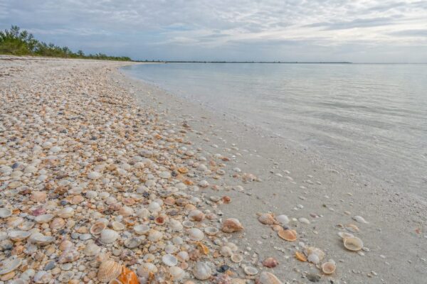
This is the strongest answer to the question of what is Anna Maria Island known for. Yes, there are Anna Maria Island beaches, and yes, the water and sand draw visitors. But many Florida barrier islands have beaches. What distinguishes this one is that its older scale remains legible. The history is not trapped in a museum case. It appears in the height of buildings, the survival of piers, the names on maps, and the fact that a narrow island still looks narrow.
That does not mean the place escaped pressure. Popularity brought traffic, parking strain, and constant tension between access and preservation. The conflict is old in form even if the details have changed. First it was docks and bridges. Later it became traffic volume, redevelopment, and the economics of vacation property.
The island’s environmental rules belong to the same story. Sea turtles nest on the beaches from May through October, and the nests, hatchlings, and nesting turtles are legally protected. That protection is not separate from the island’s identity. It reflects the same long fact that shaped everything else here: this is a thin strip of land where human use has always had to reckon with coastal life.
The past is still visible
Many coastal places talk about heritage while rebuilding over it. Anna Maria Island still shows its layers in plain sight.
Bean Point preserves the name of the first permanent settler. The Anna Maria City Pier still projects into the bay much as it did when steamers used it as a port of call. The Old City Jail remains a roofless shell. The Bridge Street Pier carries forward part of the old Cortez bridge in altered form.
More formal preservation came later. The Anna Maria Island Historical Society, founded in 1990 by Pat Copeland and Carolyne Norwood, opened its museum in 1992 in a former ice house built in 1920. Historic Green Village gathers and preserves older structures that might otherwise have disappeared.
That is the deeper reason the island’s reputation endures. Anna Maria Island is not known only for scenery. It is known because the history still interrupts the view. A pier is not just a place to walk. A height limit is not just zoning. A place name is not just a label. On this barrier island, each is part of the same long argument over what should remain.
FAQ
What is Anna Maria Island known for?
It is best known for its preserved low-rise character, historic piers and landmarks, and an “Old Florida” atmosphere that survives more clearly here than on many developed Gulf Coast barrier islands.
How long is Anna Maria Island?
The island is about seven miles long, running north to south.
How many cities are on Anna Maria Island?
There are three: Anna Maria, Holmes Beach, and Bradenton Beach.
Can you drive to Anna Maria Island?
Yes. Bridges connect the island to the mainland and to Longboat Key.
Why does Anna Maria Island still feel like “Old Florida”?
Because its development stayed relatively small in scale, and local rules, especially building-height limits, helped prevent the high-rise pattern common on other parts of the Florida coast.