Four thousand years of shells can lift a coastline.
On Marco Island, some of the highest, driest ground is not natural in the usual sense. It was built, layer by layer, by Calusa communities who carried shell, bone, and discarded material inland from the estuary. Around those raised places grew the living fringe that made such a society possible: mangrove forest, rooted in saltwater, thick along creeks and bays, holding the edge between land and sea in place.
Those two forms, engineered shell and living roots, belong to the same story. The Calusa did not simply occupy a wet coast. They understood how an estuary worked, and they built within it. Marco Island still depends on the same system.
A coast made usable
Long before European ships appeared off southwest Florida, the Calusa had built a powerful society along the lower Gulf coast. Archaeologists place their deeper cultural roots in the region at least 4,000 years back. By the time Spanish expeditions reached Florida in the 16th century, the Calusa were the dominant people of the Caloosahatchee culture area.
What sets them apart in North American history is not age alone. It is the basis of their power. They did not rely on agriculture in the way many complex societies did. Instead, they drew wealth and stability from estuarine fisheries and coastal waters rich in fish, shellfish, and other marine life.
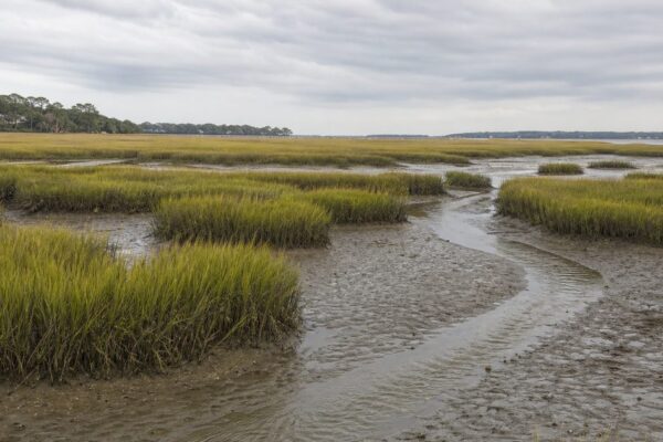
That changes how Marco Island should be read. Modern eyes tend to go first to beaches, canals, and waterfront houses. The older logic of the island lies elsewhere: in mangrove margins, tidal creeks, mudflats, backwaters. This was a maritime world. The Calusa moved through shallow coastal waters in canoes, worked wood with skill, and built houses, docks, and other structures from materials gathered in a watery landscape.
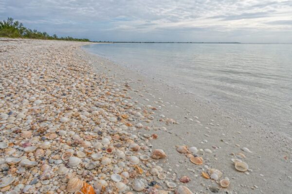
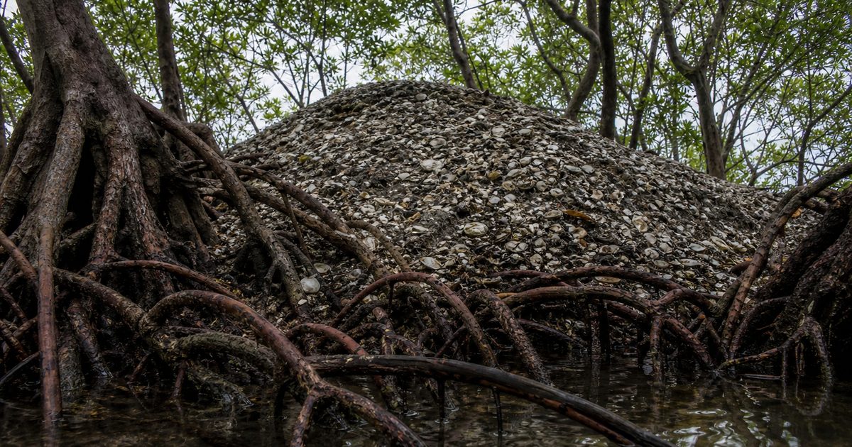
Their shell mounds are the clearest proof. These were not casual trash heaps. They were built forms: house platforms, elevated bases, ridges, and places of ceremony. In a low coastal environment, height mattered. On Marco Island and nearby places such as Chokoloskee, some of the most prominent ground began as Calusa shell works.
That fact is easy to miss if shell mounds are treated as archaeological debris. They were infrastructure. In a landscape of saturation, mud, and tide, the Calusa made land where they needed it.
First contact at the island’s edge
The written record arrives suddenly, with Spanish sails offshore.
Juan Ponce de León reached Florida in 1513. Tradition places one of his landfalls near Caxambas, at the southern end of Marco Island, where his expedition sought fresh water. The details of that landing sit partly in the realm of interpretation, but the broader pattern is clear enough. Encounters between the Spanish and the Calusa were often tense and sometimes violent.
What matters here is the setting. Europeans did not arrive on an empty shore or a neglected margin. They entered the territory of a society that already controlled waterways, fisheries, and strategically built ground. The estuary was not background scenery. It was the basis of political and material power.
Seen that way, Marco Island at first contact was not peripheral. It was part of a coherent coastal system, one in which shell mounds, canoe routes, fishing grounds, and mangrove-fringed channels worked together.
What wet ground preserved
Most wooden objects vanish in coastal Florida. Heat, humidity, and acidic conditions usually see to that. Marco Island became archaeologically famous because, in one important area, preservation worked differently.
At the site once known as Key Marco, excavations recovered carved wooden objects that almost never survive elsewhere: masks, animal figures, and other ritual or symbolic works. The most famous is the Key Marco Cat, a small wooden carving about 15 centimeters, or six inches, long. It is often described as feline or panther-like and is now in the Smithsonian Institution.
Its importance lies partly in its survival. Wood usually disappears; this one did not. But the figure also unsettles an old stereotype. It shows that the Calusa were not a simple fishing population living hand to mouth on the coast. The carving points to skilled craftsmanship, formal symbolism, and a society with room for artistry beyond subsistence.
Other remains on Marco Island, including pottery, tools, and bone, survived in shell deposits where alkaline conditions helped protect them. In that sense, the shell mounds did two jobs at once. They created habitable ground, and they became an archive.
Why mangroves mattered
To separate the Calusa story from mangrove ecology would be to break the logic of the place.
Marco Island sits within a wider coastal system that runs through the Ten Thousand Islands and toward Whitewater Bay. Along this shore, mangroves do the quiet work that makes estuarine abundance possible. Florida’s mangrove community includes three native species: red mangrove (Rhizophora mangle), black mangrove (Avicennia germinans), and white mangrove (Laguncularia racemosa).
The red mangrove is the one most people notice first. Its prop roots arch into the water and mud, forming dense tangles along the shoreline. Those roots help the tree cope with oxygen-poor soils, but their larger significance is ecological. They slow water, trap sediment, and create shelter for juvenile marine life.
Black mangroves usually occupy slightly higher ground than reds. White mangroves tend to stand farther inland still. All three are adapted to salt, though they handle it in different ways, either by excluding salt at the roots or by expelling excess salt through leaf tissue.
That physiology matters because it supports a larger chain of life. Mangrove roots provide nursery habitat for fish, crabs, and shrimp. Species associated with these waters include snook, snapper, tarpon, jack, sheepshead, red drum, oysters, and shrimp. Above the waterline, the branches and canopy offer nesting and roosting space for coastal birds, among them brown pelicans and roseate spoonbills.
This is the productive edge the Calusa knew how to use. The estuary fed people because mangroves helped feed the estuary.
Shell architecture and living infrastructure
There is a temptation to treat archaeology and ecology as separate subjects: the human past over here, the natural system over there. On Marco Island, that division does not hold.
Calusa shell mounds and mangrove forests perform related work in different forms. The mounds raised usable surfaces above wet ground. Mangroves stabilized shorelines, moderated water movement, and protected nursery habitat. One was built from the remains of estuarine harvests. The other sustained the estuary that made those harvests possible.
That continuity explains why the island could support dense human life at all. Without productive tidal waters, no Calusa shell architecture on this scale. Without mangroves, a weaker estuary and a more fragile coast.
It also explains why damage to mangroves is not a narrow botanical issue. When mangrove systems fail, fisheries suffer, bird habitat shrinks, shorelines erode more easily, and water quality declines. The whole coastal structure loosens.
When hydrology breaks
Mangroves can survive salt, heat, mud, and storms. What they do not survive well is broken water flow.
On Marco Island, one of the clearest examples appeared near Fruit Farm Creek, where restricted tidal exchange contributed to a significant mangrove die-off. A collapsed culvert under San Marco Road disrupted the movement of water the forest depended on. The result was visible in stands of dead or declining trees, sometimes described as ghost forests.
The phrase is dramatic, but the mechanism is plain. Mangroves need tidal exchange. If culverts clog, channels are blocked, or hydrology is otherwise altered, the forest can fail even when it still looks intact from a distance. Damage often begins below the level of casual notice.
That is why restoration on a coast like this often starts with water movement rather than planting. Work studied by the U.S. Geological Survey and Rookery Bay has focused on restoring tidal flow and tracking indicators of mangrove health in degraded areas. On Marco Island, the line between a living fringe and a dead one can be as simple, and as consequential, as whether the tide can still move.
Protection came late, but it mattered
Modern development put the island’s wet margins under sustained pressure. Wetland filling, altered drainage, restricted tidal flow, and storm damage all changed how the coastal edge functioned. Seasonal population surges added another layer of strain to a low-lying environment already dependent on careful hydrology.
Regulation arrived after much of Florida’s coast had already been transformed. The Clean Water Act in the 1970s marked a major shift in how wetlands could be altered. In Florida, later protections included the Mangrove Trimming and Preservation Act of 1996, which set rules for cutting and altering mangroves.
These laws did not freeze the coast in place, nor did they undo earlier damage. What they did was establish that mangroves are not expendable scrub at the water’s edge. They are part of the coast’s operating system.
That is a useful correction on Marco Island, where the value of land has often been measured in buildable frontage. The older truth is almost the reverse: the island remains habitable because its wet edges still function.
What remains visible
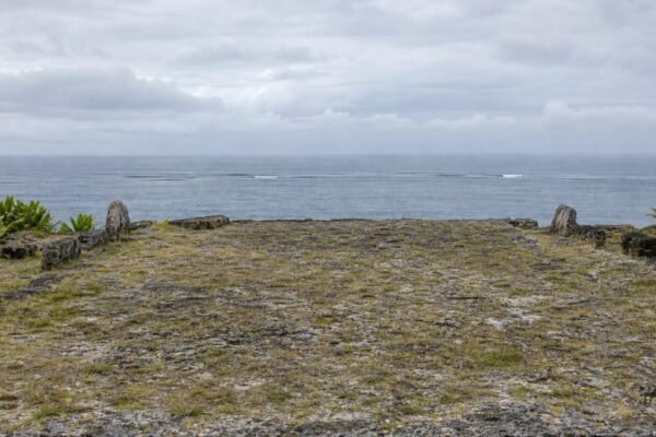
The Calusa presence on Marco Island is not abstract. At Otter Mound Preserve, visitors can walk on a preserved shell mound and stand on ground shaped by Indigenous labor over centuries. The preserve also includes the shell walls built by Ernest Otter, a much later addition that sits uneasily but revealingly atop older terrain. Even there, the deeper story is the mound itself: elevated ground made from estuarine remains.
The mangrove story is visible too, though it asks for a slower eye. Healthy stands around the island and into the Ten Thousand Islands show what a functioning estuary looks like: dense roots at the waterline, bird life overhead, sheltered water beneath. Damaged areas near Fruit Farm Creek show the opposite. Dead trunks and stressed trees mark places where the coast’s hydrology has been interrupted.
Some nearby waters and islands fall within the Rookery Bay National Estuarine Research Reserve, where seasonal closures protect nesting sea turtles and shorebirds. That matters here because restraint is part of the same ecological logic. Productive coasts are often vulnerable coasts. Protection is not an obstacle to the landscape; it is one way the landscape survives.
The Calusa do not remain as a distinct people on Marco Island. Their works do. So does the system they understood. Shell mounds turned estuarine abundance into durable ground. Mangroves keep that abundance in motion. Together they explain more about the island than any beach view can.
FAQ
What are Calusa shell mounds on Marco Island?
They are built elevations made from shell, bone, and other deposited material. The Calusa used them as platforms for living, ceremony, and other structured purposes, not simply as refuse heaps.
What is the Key Marco Cat?
The Key Marco Cat is a small carved wooden figure found at the Key Marco archaeological site on Marco Island. It is one of the best-known surviving Calusa artifacts and is held by the Smithsonian Institution.
What mangrove species grow on Marco Island?
Marco Island has the three native Florida mangrove species: red mangrove, black mangrove, and white mangrove.
Why are mangroves important to Marco Island?
They stabilize shorelines, trap sediment, support fish nurseries, improve water quality, and provide habitat for birds and other wildlife. They also help buffer storm surge and erosion.
Where can you see Calusa history on Marco Island?
Otter Mound Preserve is the most accessible public site on the island where visitors can see and walk on a preserved Calusa shell mound.