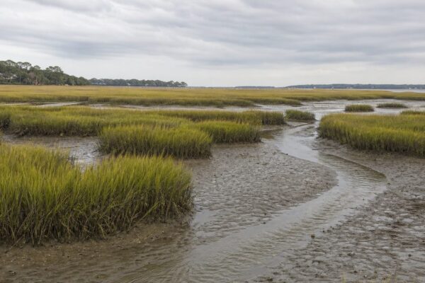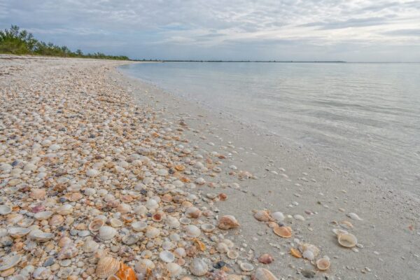
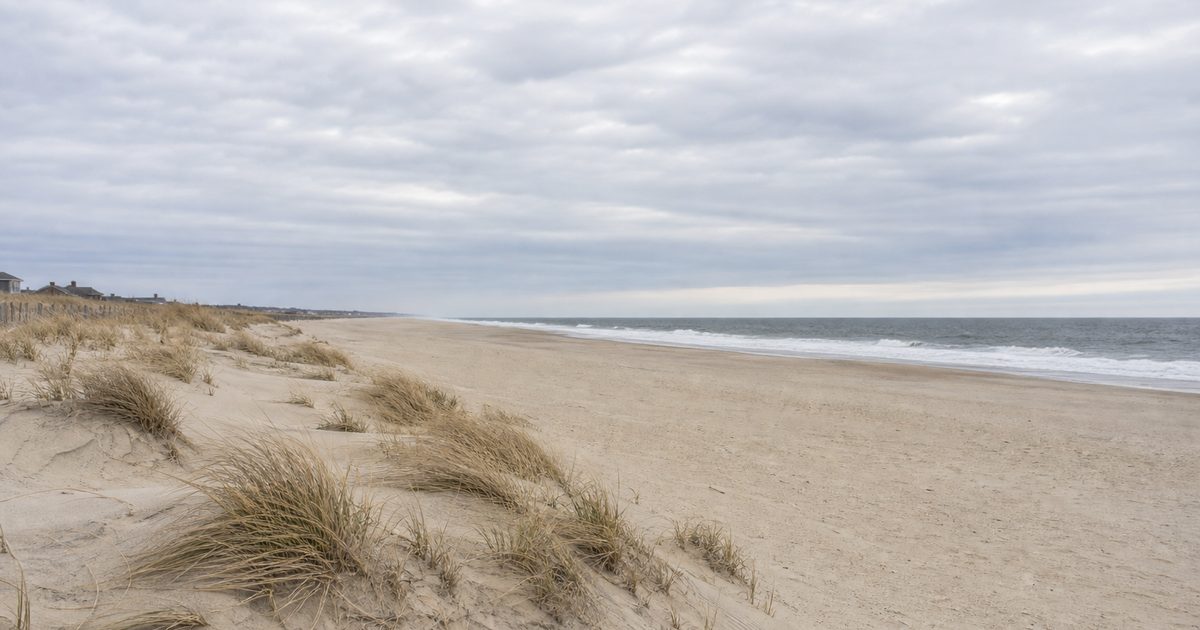
A boulder on a North Shore beach can tell you more about Long Island than a skyline ever could. It does not belong there in any ordinary sense. Ice carried it, dropped it, and left behind the ridges, plains, ponds, and shorelines that still divide the island into two distinct worlds.
That split is the central fact of Long Island geology. The bluff-lined, rock-strewn North Shore and the low sandy South Shore were shaped by the same glacier, but by different parts of its retreat. What looks like a contrast in scenery is really a record of ice, meltwater, and later coastal change.
Long Island stretches roughly 190 kilometers east to west. Its highest point, Jayne’s Hill near Melville, reaches just 122.2 meters. Those are modest numbers. The landform itself is not modest. It is a glacial construction whose effects reach from the beach to the aquifers below.
Before the ice, a buried foundation
The visible island is mostly loose sediment, not exposed bedrock. Deep below the surface lies metamorphic rock formed hundreds of millions of years ago, broadly between about 230 and 450 million years in age. Part of that foundation traces back to ancient tectonic collisions, including the accretion of volcanic island arcs to the edge of North America.
Later, during the Late Cretaceous, sands and clays accumulated above that older rock. Those buried layers matter because they help explain what Long Island is not. It is not a bedrock island in the way Manhattan is often understood to be. Much of the ground here consists of unconsolidated material: older coastal plain sediments, then thick glacial deposits laid over them.
That composition shaped later human use as well as the landscape itself. The island’s surface could be molded, cut, eroded, and reworked far more easily than a terrain of exposed hard rock.
The glacier that made the island legible
The decisive chapter came during the Pleistocene, when the Laurentide Ice Sheet advanced into the region during the Wisconsin glaciation. As the ice moved south and later retreated, it pushed, carried, and dumped immense volumes of debris.
The clearest result is a pair of terminal moraines. These ridges mark former positions of the glacier’s edge and form the basic structure of the island.
The older and more southerly ridge is the Ronkonkoma Moraine, generally dated to about 22,000 years ago. The younger is the Harbor Hill Moraine, tied to a later advance that reached its southern limit around 18,000 years ago. Together they arc across Long Island and extend into the twin forks: the Ronkonkoma Moraine into the South Fork, the Harbor Hill Moraine into the North Fork.
These are not neat ridgelines in the mountain sense. They are accumulations of till, an unsorted mix of clay, sand, gravel, and boulders dropped directly by ice. That jumble matters. It gives the moraine landscape its uneven texture and helps explain why some stretches of the island feel subtly hilly even where elevations stay low.
Why the North Shore is rocky and the South Shore is sandy
Stand on the North Shore and the glacial story is easy to read. Bluffs rise above the water. Beaches are often coarse, with cobbles and erratic boulders. The land behind them rolls more than many first-time visitors expect. This is moraine country, especially where the Harbor Hill ridge approaches the coast.
Wave erosion sharpened that relief. The glacier supplied the debris; the sea cut into it. In places, bluffs rise to around 30 meters. On the beach below, glacial erratics of igneous and metamorphic rock sit far from their original source areas, carried south by ice and abandoned when it melted.
The South Shore tells a different part of the same story. South of the moraines, meltwater streams spread sand and gravel in broad sheets. This is the outwash plain, flatter and more uniform because moving water sorted the sediment by size instead of dropping it in a chaotic mass.
That is the basis of the island’s low sandy southern half. The contrast between north and south is not incidental and not merely scenic. It reflects two glacial processes: direct deposition by ice on the ridges, and water-sorting beyond them. If people search for how Long Island was formed, this is the answer at its clearest.
The ridges that still direct water and settlement
Moraines do more than shape views. They organize drainage.
In Nassau County, the Harbor Hill Moraine forms an important divide. Water on one side drains north toward Long Island Sound. Water on the other moves south toward the Atlantic-facing bays. Farther east, the Ronkonkoma Moraine creates another divide across Suffolk County.
These ridges are low enough that development can hide them. Roads cross them without fanfare. Neighborhoods spread over them. Yet they still influence where water flows, where soils differ, and how the land behaves after heavy rain. The island may look fully settled, but its glacial framework still governs it.
Kettle lakes and the traces of melting ice
Some of the island’s ponds and lakes began as voids left by stranded ice.
As the glacier decayed, blocks of ice sometimes broke off and became buried in outwash sediment. When those blocks finally melted, the ground above collapsed. The resulting depressions are kettle holes. Where water filled them, kettle lakes formed.
Long Island has many such features, including Lake Ronkonkoma, Lake Success, Deep Pond, Laurel Lake, Artist Lake, Lake Panamoka, and Oakland Lake. They are quieter evidence than a bluff face or a moraine ridge, but in some ways more intimate. A kettle lake is a negative image of the glacier: not what the ice built up, but what it left behind when it vanished.
One of these lakes carries a well-known local story. Lake Ronkonkoma is linked in folklore to the “Lady of the Lake,” said to claim a male life each year. That belongs to legend, not geology. Still, the persistence of the tale says something useful. Glacial landforms do not remain only physical features. People attach memory, fear, and ritual to them.
Some of these places also sit within clear limits of access. Lake Success is private, and Deep Pond has restricted access within Scout property. That matters. A geologic feature can be important without being open ground for casual intrusion.
The barrier islands: the glacier’s sand, remade by the sea
If the moraines are the island’s spine, the barrier islands are its moving margin.
Along the South Shore, wave action and longshore transport reworked sand into long, narrow offshore barriers. Fire Island, Jones Beach, Long Beach, the Rockaway Peninsula, and other stretches of the outer shore belong to this system. They help create the sheltered bays behind them and give the southern coast its low, buffered character.
Their sand ultimately comes from older deposits, including glacial material eroded and redistributed over time. But the barrier islands were not simply laid down in one moment by the glacier itself. They are coastal landforms shaped by sea-level rise, waves, currents, and continuing sediment movement.
Some details of barrier-island development remain debated by coastal geologists. That uncertainty should be stated plainly. What is well established is that these islands are dynamic. Sand moves alongshore, generally westward in this system, and storms can cut, breach, or rebuild parts of the coast. Anyone interested in Long Island barrier islands geology is really looking at the second act of the glacial story: not ice making land, but the ocean editing what ice left behind.
Long Island Sound and a drowned glacial edge
North of the island, the water is part of the same history.
As the ice retreated and sea level rose, the landscape between Long Island and Connecticut was flooded. Long Island Sound is therefore not just a convenient body of water on a map. It is a drowned glacial margin, shaped by retreating ice, meltwater, and marine inundation.
That helps explain the irregular character of parts of the Sound-side coast. It is not a smooth edge cut against a simple plain. It is the flooded border of a glacial terrain.
The aquifers below: geology at the tap
The island’s most consequential geologic feature may be the one least visible. Long Island depends on groundwater stored in a layered aquifer system recharged by precipitation. It is designated a sole-source aquifer, which means the region relies on it for drinking water with no practical alternative on the same scale.
The shallowest unit is the Upper Glacial Aquifer, made up of the youngest deposits and containing the newest groundwater. Beneath it lies the Magothy Aquifer, the largest of the three major units, composed largely of sands with some silts and clays and generally dated to about 60 to 65 million years old. Deeper still is the Lloyd Aquifer, the oldest of the principal freshwater-bearing units, commonly placed between about 70 and 144 million years in age, above the bedrock surface.
This is where Long Island glacial history stops being an abstract story about old ice. The loose sediments left by ancient seas and later reshaped by glaciers now store the freshwater on which the island depends. Geology here is not background. It runs through every faucet.
A landscape still under revision
The glacier did not finish the work. It set the terms.
North Shore bluffs continue to erode. Beaches there are still supplied with material from those collapsing faces. On the South Shore, waves and currents keep shifting sand through the barrier system. Sea-level rise adds pressure to a coast that was always mobile.
So the island remains legible as a glacial coast, even under dense development. The Harbor Hill and Ronkonkoma moraines still arc across it. The outwash plain still slopes southward. Kettle lakes still occupy hollows left by buried ice. Erratic boulders still sit on beaches where they have no local bedrock source. The north remains bluffed and stony; the south stays low, sandy, and in motion.
That is the essential shape of Long Island formation. One island, two landscapes, and beneath both of them the same old fact: ice made the framework, and water has been revising it ever since.
FAQ
How was Long Island formed?
Long Island was shaped mainly by the advance and retreat of the Laurentide Ice Sheet during the Wisconsin glaciation. The glacier left two terminal moraines and a broad outwash plain.
Why are the North Shore and South Shore so different?
The North Shore reflects moraine deposits and coastal erosion, which create bluffs, hills, and rocky beaches. The South Shore developed on flatter outwash sands and later barrier-island systems.
What are the main geological features of Long Island?
The key features are the Harbor Hill and Ronkonkoma moraines, the outwash plain, kettle lakes, glacial erratics, Long Island Sound’s drowned glacial margin, and the South Shore barrier islands.
Where does Long Island get its drinking water?
Its drinking water comes from a sole-source groundwater system, mainly the Upper Glacial, Magothy, and Lloyd aquifers, recharged by precipitation.
What are kettle lakes on Long Island?
They are lakes formed when buried blocks of glacial ice melted and left depressions that later filled with water.