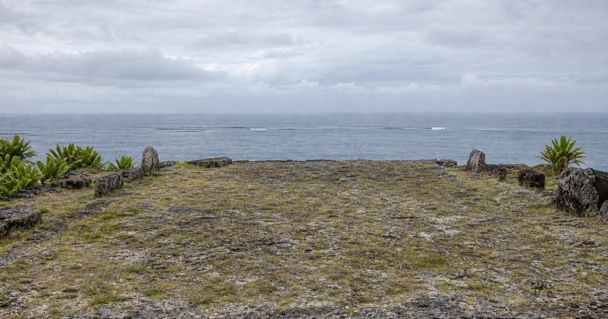
A volcanic peak appears first. Long before any chart named Rarotonga, Te Manga would have risen out of the horizon as proof that memory, stars and swell had brought a canoe to the right place.
That is the scale of the story in the Cook Islands. Fifteen islands, little land, a great deal of sea, and a place deep inside the routes of Polynesian wayfinding. Read on a modern map, the archipelago can look isolated. Read through the history of Pacific voyaging, it looks more like a hinge: a group of landfalls within a much older ocean network built by navigators who crossed open water without modern instruments and did so deliberately.
A crossroads made of sea
The Cook Islands cover only a small area of land, but they are spread across a vast stretch of the South Pacific. That contrast matters. In a voyaging world, importance did not depend on acreage. It depended on whether an island could be found, remembered and reached again.
Rarotonga, the largest island, is high and volcanic. Its interior climbs to Te Manga, 652 meters above sea level. For a canoe at sea, that height mattered. It made the island visible at distance and gave shape to approach. The northern islands offered the opposite challenge. Many are low coral atolls, harder to sight and easier to miss, yet no less part of the same navigational system. High island and atoll demanded different skills, but together they formed a chain of destinations within a wider Polynesian world.
That world was not empty ocean punctuated by accidents of landfall. It was a remembered geography. Routes linked island groups across what now seem immense distances. The Cook Islands sat within those routes, not at their edge.
Settlement by design
Archaeology places the first settlement of the Cook Islands centuries before European arrival. Dates vary somewhat among sources, and the chronology of movement across central and eastern Polynesia is still debated. Broadly, the islands were settled by Polynesian voyagers sometime between about 500 and 800 CE, with some arguments for an earlier date.
What is not in doubt is the larger point: people did not drift here by chance. They came in vaka, the large voyaging canoes that made long-distance Pacific travel possible.
These were substantial craft, often double-hulled, built for ocean passages rather than coastal movement. Accounts of their size vary, and the largest reported dimensions should be treated cautiously, but the tradition is clear enough. They could carry people, plants, tools and the social life needed to found a community. Settlement meant more than arrival. It meant transporting a future.
The Cook Islands were not settled in a single wave. Evidence suggests layered movement. Early settlers likely came through eastern Polynesian networks that included the Marquesas. The southern group shows strong links with Tahiti. The northern islands were connected in different ways to Samoa and Tonga. That pattern helps explain why the archipelago matters in Polynesian history. It was not simply reached once. It was folded into an active system of movement and exchange.
How wayfinding worked
To understand why the Cook Islands became part of that network, it helps to be precise about navigation. “Polynesian navigation” can sound mystical when it is described too loosely. In practice, it was disciplined observation.
Navigators read the sky, but not the sky alone. They memorized where stars rose and set. They watched the angle and persistence of ocean swells. They knew how winds behaved in different seasons. They paid attention to birds, cloud forms and the color of water. Each sign was partial. Together, they built a reliable picture.
The star compass is often used as shorthand for this knowledge, though that phrase can flatten a much broader body of expertise. The navigator did not carry an instrument in the modern sense. The compass existed in memory: a mental framework for orientation, timing and correction. Knowledge passed from master to apprentice through training, repetition and practice at sea.
Swells were especially important. Even when local winds shifted, long ocean swells could preserve direction across great distances. Birds mattered too, though not in a simplistic way. Some species range far offshore; others return to land at predictable times. A skilled navigator knew the difference. Landfinding depended on reading several cues at once, then weighing them against what had been learned on earlier voyages.
That is why wayfinding should not be romanticized as instinct. It was expertise. The open Pacific became navigable because generations of sailors turned observation into a system.
Why these islands mattered
In the history of Cook Islands history, location is never just location. The archipelago lies within the Polynesian Triangle and sits close to major lines of movement between island groups. That made it useful not only for settlement, but for onward voyaging.
The islands helped connect a maritime world that included the Marquesas, Tahiti, Samoa, Tonga and, in later phases of Polynesian expansion, Aotearoa New Zealand. Scholars debate the exact sequence and timing of some of those movements. The broad pattern is still clear. The Cook Islands belonged to a central zone of circulation.
This also shaped the people who emerged from those movements. The indigenous population, Cook Islands Māori, formed through these layered histories of arrival, kinship and exchange. Mobility is not a modern interruption to that story. It is one of its oldest themes. Many people of Cook Islands Māori descent now live in New Zealand and Australia rather than in the islands themselves, but that dispersal echoes a much older truth: this has long been a society oriented across water.
Navigation, rank and remembered origins
Voyaging did not end once a canoe landed. It fed into authority, landholding and social order. In the Cook Islands, traditional leaders known as ariki held and still hold significance in customary life, especially in matters tied to land and lineage. That authority belongs to a history in which arrival, settlement and descent were not abstract ideas. They were the basis of political legitimacy.
Oral tradition preserves part of that world. It should be read carefully. Legend is not the same as archaeological proof, but neither is it mere decoration.
One of the best-known traditions in Rarotonga concerns Tangiia and Karika, figures associated with arrival from Tahiti and with the division of the island into vaka, or districts. The story is treated as tradition, not as a dated historical record in the modern sense, yet it preserves how communities understood origin, precedence and the ordering of land.
Another story, Raemaru, the Stolen Mountain, links landscape to orientation and memory. The Cook Islands creation tradition, in which the universe is imagined through the form of a great coconut shell and the mother goddess Varima te takere creates the first beings, belongs to the same intellectual terrain. These accounts are not navigation manuals. They are part of the cultural framework that gave voyages meaning.
That distinction matters. Oral tradition should not be forced to do the work of archaeology. Archaeology should not be treated as the only form of historical memory.
When Europeans entered an older map
European ships arrived late in this story. Spanish navigator Álvaro de Mendaña sighted Pukapuka in 1595. Pedro Fernandes de Queirós made the first recorded European landing, on Rakahanga, in 1606.
James Cook visited parts of the archipelago in the 1770s and applied the name “Hervey Islands” to the southern group. He did not name the whole country as it is known today. “Cook Islands” appeared later on a Russian chart in the 1820s.
Those encounters changed the documentary record. They did not create the routes that mattered most to local history. By the time European navigators entered these waters, Polynesian seafarers had already settled and linked the islands for centuries.
The next major shift came through missionization and colonial rule. Missionaries from the London Missionary Society, including Tahitian teachers, reached Aitutaki in 1821. The Cook Islands became a British protectorate in 1888, were annexed in 1900, and were included within New Zealand’s colonial boundaries in 1901. Self-government in free association with New Zealand followed in 1965.
That political sequence belongs to Cook Islands history, but it is a later layer. The older maritime layer remained underneath it.
What the voyaging past left behind
Some traces of this navigational world are still visible on land. On Rarotonga, marae and the ancient road known as Ara Metua connect the present island to ceremonial and political landscapes shaped after first settlement. These are not relics of a vanished people. They are evidence of how communities organized space once ocean travel had become residence, rank and ritual.
Carving preserves another strand of continuity. Images of deities such as Tangaroa point to belief systems carried across the sea and adapted in new settings. The islands themselves are also part of the archive. A steep volcanic island and a low atoll ask different things of a navigator. Their forms tell you what kinds of landfalls had to be recognized, approached and remembered.
Museums and cultural institutions make some of this history legible to outsiders. The Cook Islands National Museum includes material on voyaging and heritage. On Aitutaki, star-compass teaching grounds used in navigation revival projects turn abstract knowledge back into something spatial and teachable. The point is not display for its own sake. It is transmission.
The revival on the water
The most important fact may be that traditional navigation in the Cook Islands is not only historical. It is being taught again.
The Cook Islands Voyaging Society, founded in 1992, helped renew interest in ancestral seafaring. Under the leadership of Tom Davis, a replica voyaging canoe, Te Au o Tonga, was launched in the 1990s. Marumaru Atua later became another major vessel in this revival. More recently, Te Puna Marama Voyaging Foundation has worked to teach sailing and wayfinding to younger generations.
That effort matters for practical reasons and cultural ones. It restores techniques that colonial schooling and modern transport pushed to the margins. It also offers a way to connect a widely dispersed Cook Islands Māori population to knowledge rooted in the sea. In that sense, revival is not pageantry. It is a form of continuity.
The old navigational tradition survives because people keep using it, naming it and teaching it. A route remembered only in the abstract is already fading. A route sailed becomes knowledge again.
FAQ
When were the Cook Islands first settled?
Most archaeological interpretations place first settlement between about 500 and 800 CE, though some earlier dates have been proposed.
How did Polynesians navigate to the Cook Islands?
They used wayfinding: reading stars, swells, winds, birds and other environmental signs, with knowledge held in memory and passed on through training.
Why are the Cook Islands important in Polynesian navigation?
Their position within the Polynesian Triangle made them part of major voyaging routes and a significant hub in wider Pacific movement.
Did Captain Cook discover the Cook Islands?
No. The islands were already inhabited for centuries. Cook visited some of them in the 1770s, but he neither discovered nor named the whole archipelago.
Is traditional navigation still practiced in the Cook Islands?
Yes. Voyaging organizations and teaching programs continue to revive and pass on traditional sailing and navigation knowledge.